-20 %
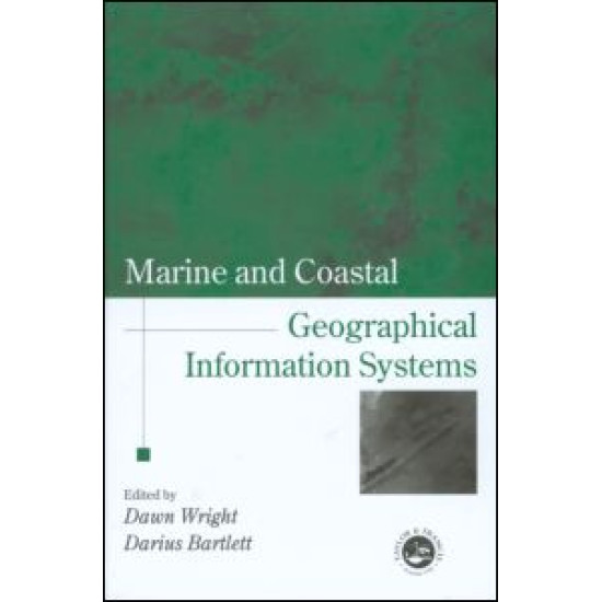
Marine and Coastal Geographical Information Systems
Marine and coastal applications of GIS are finally gaining wide acceptance in scientific as well as GIS communities, and cover the fields of deep sea geology, chemistry and biology, and coastal geology, biology, engineering and resource management. Comprising rigorous contributions from a group of leading scholars in marine and coastal GIS, this book will inspire and stimulate continued research in this important new application domain.
Launched as a project to mark the UN International Year of the Ocean (1998) and supported by the International Geographical Union's Commission on Coastal Systems, this book covers progress and research in the marine and coastal realms, in the areas of theory, applications and empirical results. It is the first book of its kind to address basic and applied scientific problems in deep sea and coastal science using GIS and remote sensing technologies. It is designed for GIS and remote sensing specialists, but also for those with an interest in oceans, lakes and shores. Coverage ranges from seafloor spreading centres to Exclusive Economic Zones to microscale coastal habitats; and techniques include submersibles, computer modelling, image display, 3-D temporal data visualization, and development and application of new algorithms and spatial data structures. It illustrates the broad usage of GIS, image processing, and computer modelling in deep sea and coastal environments, and also addresses important institutional issues arising out of the use of these technologies.
Launched as a project to mark the UN International Year of the Ocean (1998) and supported by the International Geographical Union's Commission on Coastal Systems, this book covers progress and research in the marine and coastal realms, in the areas of theory, applications and empirical results. It is the first book of its kind to address basic and applied scientific problems in deep sea and coastal science using GIS and remote sensing technologies. It is designed for GIS and remote sensing specialists, but also for those with an interest in oceans, lakes and shores. Coverage ranges from seafloor spreading centres to Exclusive Economic Zones to microscale coastal habitats; and techniques include submersibles, computer modelling, image display, 3-D temporal data visualization, and development and application of new algorithms and spatial data structures. It illustrates the broad usage of GIS, image processing, and computer modelling in deep sea and coastal environments, and also addresses important institutional issues arising out of the use of these technologies.
₹5,507.26
₹6,884.08


